So School
I finished up a GIS oriented Geography degree from CWU a few years back. From what I have heard about other, similar programs around the United States, my experience was typical - some general GIS/Computer Science history, labs following relatively closely to ESRI published workbooks using the ubiquitous ArcInfo suite, some quantitative/statistical methods, and some remote sensing stuff. I was lucky enough to do some special projects for actual state and local agencies who wanted some free/cheap maps with perhaps a smattering of analysis work.
I thought I would just walk out of the college doors and fall into a low/entry level GIS job, and I might have been able to. But I met a lovely girl, who I ended up marrying, so luckily I found a pretty good excuse to stay around the college until she finished.

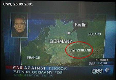
I don't really have a relevant picture for this section so here is CNN embarrassing themselves.
Up until I came down to Phoenix, everything I learned about GIS came from Dr. Robert Hickey. He was, at the time, the only member of the faculty to know much about GIS and apparently I had annoyed him enough with not-always-easy to answer questions about his courses
.
This left the probably mistaken impression I was more intelligent than I actually was at the time. I was curious and motivated. I liked the work and wanted to master it to the extent that was possible. This basically remains true.
Anyway, this annoyance/mistaken impression factor got me an assistantship running the GIS lab at CWU. This was basically a helpdesk/IT role that, along with some independent contracting, paid my way through grad school. I get to defend in a few weeks.
The Advice
The only information I left the school with in terms of automating common GIS tasks was using ModelBuilder.
Don't let this happen to you.
At the very least, pick up SQL. Even if you don't want to become a developer and intend to live the haunted existence of a business analyst. If you are doing GIS classes you pretty much already have the necessary logic to grasp SQL. Done an attribute query? Then you've basically done half of an SQL SELECT statement. It is a "language" with a ridiculously small amount of actual syntax but can be extremely powerful. Also, it exists in every database in the world. Also, you can be justifiably ridiculed for not knowing it.
Assuming you don't take a minor in Computer Science, which I would highly recommend at this stage, try this
- Make your ModelBuilder runs. Make them as complicated as you want.
- When finished editing, go to File:Export:To Script. Choose Python, you'll be happier learning JavaScript later
- Read this basic tutorial and try to make small changes to your script. I know I complained about documentation just a post ago, but mostly because I have otherwise been spoiled rotten by how good ESRI's usually is. Read that too.
You can learn a lot of the basics of object oriented programming from this stuff. There is an alternative, darker route involving the use of the VBA editor in ArcMap. Nothing you make there will make you proud later, and it is possible your future children will be subject to your subsequent crimes.

Some computer science is highly recommended.


No comments:
Post a Comment